01 / GROUND INTELLIGENCE
What is recorded in the field?
Available crop registers, season, crop name, sowing/observation dates, reported area, field photographs and authorised officer observations. Records retain source and timestamp.
Cropmentis is building an agricultural intelligence platform that links what is recorded on the ground with where it sits on the map and what satellites observe over time. The goal: a clearer, parcel-linked picture of crops across every season—backed by evidence that can be reviewed and verified.

A map alone is not agricultural intelligence. Cropmentis is designed to connect field-level records, land-parcel context and satellite observations—then flag gaps for human review instead of treating an image as ground truth.
Explore the three-layer method ↗Explore India at national scale, then focus on a state and its district reference boundaries. This is the geographic foundation for Cropmentis—not a claim that every village, survey parcel or crop has already been mapped and verified.
Cropmentis does not rely on satellite imagery alone. Each source answers a different question; the platform connects them around a location and records how a result was reviewed.
Available crop registers, season, crop name, sowing/observation dates, reported area, field photographs and authorised officer observations. Records retain source and timestamp.
Administrative hierarchy, survey number, subdivision, cadastral geometry, coordinates and area references. Parcel matching must respect the source's legal and positional accuracy.
Sentinel-2 optical imagery, Sentinel-1 radar where suitable, vegetation indices, temporal change, cloud/coverage quality and anomaly signals processed through Google Earth Engine.
A satellite signal can indicate vegetation or change. It does not, by itself, prove the crop species, land ownership, insured area or eligibility for compensation.
These are the intended outputs of the platform when the relevant datasets, permissions and field workflows are in place.
Season-wise crop presence and area summaries by village, district and state, with source and confidence metadata.
Records linked to survey parcels, subdivisions and mapped geometry; unmatched or conflicting records routed for review.
Crop-cycle indicators, vegetation trajectories, delayed/early growth signals and change detection over time.
Potential flood, drought, water stress or abnormal change signals to help teams prioritise inspections.
Crop-area estimates combined with validated yield models and crop-cutting observations—never satellite area alone.
Aggregated crop supply outlook by geography and season to support procurement, storage and distribution planning.
Spatial evidence to support scheme planning, field verification and review of reported agricultural activity.
Source lineage, imagery date, processing version, review status and officer action history for each result.
This is an illustrative product walkthrough using the survey-number and subdivision structure discussed for the Kaukuntla pilot. It demonstrates the intended interface—not verified parcel geometry or live crop observations.
Parent survey reference linked to available subdivision records and their reported crop/area entries.
Crop name · season · observation date · reported area · source record
Image date · cloud/coverage quality · vegetation signal · seasonal change
These are proposed review states. Satellite indicators support verification; they do not independently confirm crop identity.
Each stakeholder sees the information and actions appropriate to their role.
National/state crop map, season filters, district summaries, validation coverage, change alerts and high-level trends.
Village-wise records, parcel matching, missing-boundary queues, officer assignments and escalation to field teams.
Mobile-friendly parcel task with survey reference, mapped location, recorded crop, observation date, evidence capture and review outcome.
Simple crop map, seasonal crop information, local aggregated trends and relevant advisories. No internal exception queues or private data of other farmers.
Dashboard bars and workflow examples are illustrative UI elements, not live platform measurements.
Ingest authorised crop records and field observations with dates and source identity.
Match records to administrative units, survey numbers and parcel geometry.
Process satellite time series and assess image quality, coverage and seasonal timing.
Compare evidence and flag disagreement or uncertainty for review.
Authorised staff review, correct or revisit; publish role-appropriate aggregated outputs.
The national vision must be earned through a measurable pilot. Kaukuntla is the initial demonstration geography—not evidence of nationwide operational coverage.
Village-level crop record organisation, survey-number/subdivision relationships, GIS visualisation, seasonal views and a proposed ground-versus-satellite validation workflow.
Parcel geometry alignment, source workbook consistency, area-unit reconciliation, crop/season labels, imagery dates and field revisit outcomes.
Explore the embedded pilot map, search parent survey numbers, filter crop allocations and inspect the linked workbook references.
Complete Kaukuntla data model, parcel linking, imagery workflow and field verification protocol.
Test different crop systems, land patterns, seasons and administrative data conditions across selected districts.
Integrate approved state datasets, operating roles, security controls and agreed performance measures.
Adopt reusable standards and state-specific integrations before expanding to a national intelligence network.
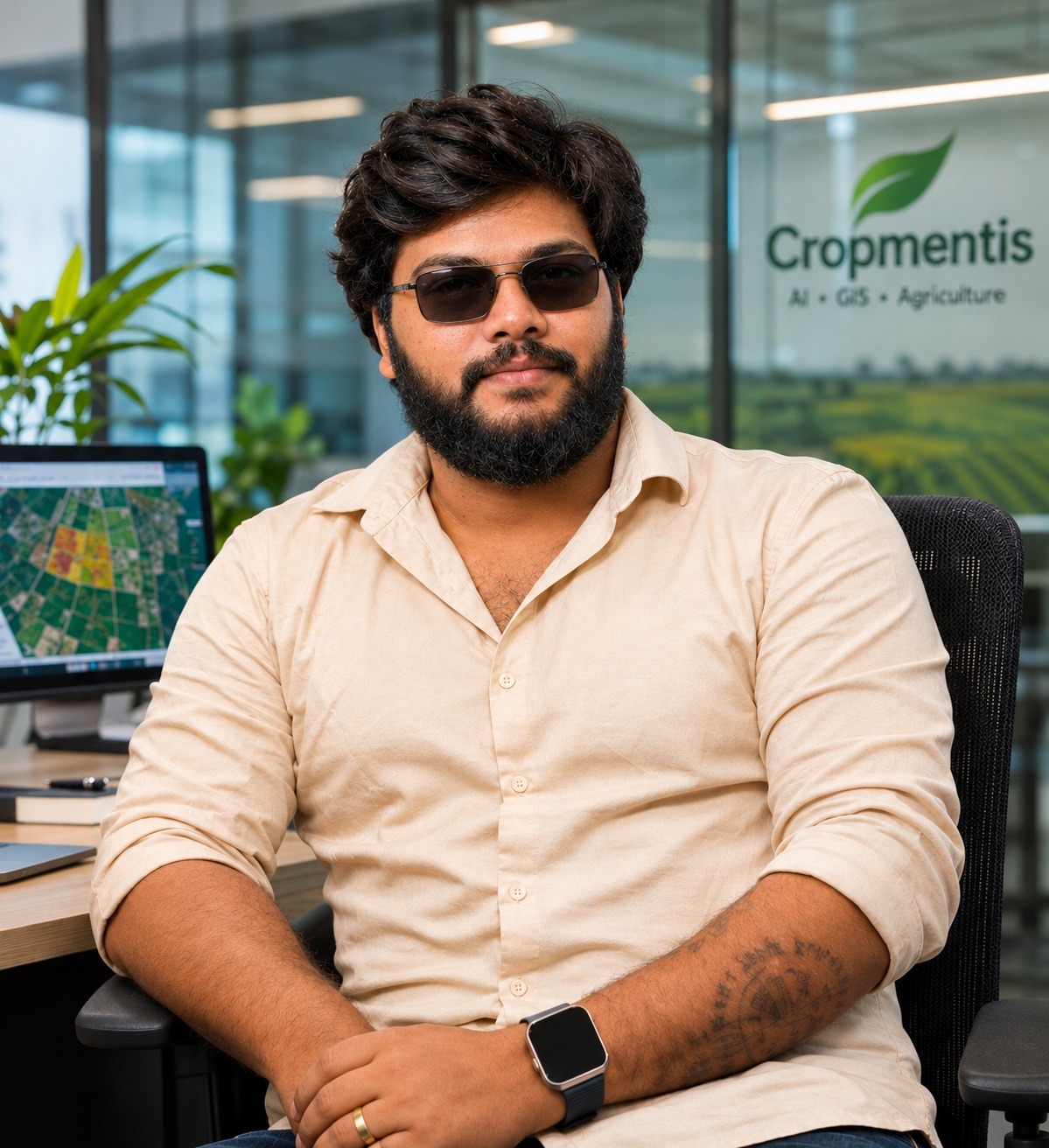
Krishna Raj Karli is building Cropmentis around the integration of ground-level agricultural information, GIS and satellite observation. The focus is to make fragmented records more connected, traceable and useful for institutions, field teams and farmers.
MSc Computer Science · University of East London, United Kingdom
Bachelor’s Degree in Computer Science
Cropmentis seeks collaboration with public institutions, geospatial partners, agricultural universities and field organisations to validate the model and define responsible pilot deployments.
India Maps Data — udit-001 · reference state/district geometries; curated for personal use, commercial reuse rights not verified.
Administrative boundary reference: udit-001/india-maps-data. Curated for personal use; commercial permissions and underlying provenance must be verified before production deployment.
Founder & CEO: Krishna Raj Karli · Cropmentis